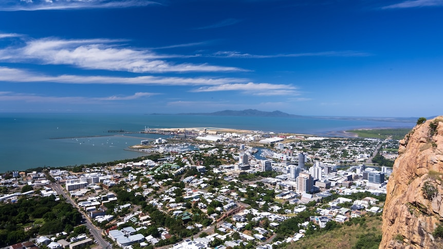

The remnants of two former tropical cyclones located to the east of Australia are forecasted to create varied weather conditions across Queensland this week.
The northern regions of the state are anticipated to experience heavy rainfall, while the southern areas may face hazardous surf conditions and the potential for frosty weather.
Starting Tuesday, thunderstorms are likely to affect northern Australia.
At the beginning of the week, the majority of Queensland will enjoy dry, warm, and sunny weather as ex-Tropical Cyclone Maila has weakened into a tropical low pressure system.
However, as per Dean Narramore from the Bureau of Meteorology, Queensland’s weather will be distinctly different across the state.
“If you visualize a line cutting Queensland from Rockhampton to the Northern Territory border, the northern section will receive rainfall while the southern portion will experience very little,” he explained.
According to the senior meteorologist, moisture from the remnants of ex-Tropical Cyclone Maila, situated in the Solomon Sea near Papua New Guinea, is expected to bring widespread rain and thunderstorms to northern Queensland.
“The positive aspect is that we do not anticipate excessive rainfall or widespread flooding, but we could see total accumulations over three to four days in the range of 50 to 100 millimeters,” he noted.
“The primary concern will be flash flooding as the catchments and soils are already saturated, meaning any heavy localized rainfall could result in rising river levels.”
This situation is particularly alarming for areas along the North Tropical Coast and Cape York Peninsula, which may still receive up to 200 millimeters of rain, just weeks after experiencing the severe impact of Tropical Cyclone Narelle.
In the Cape York region, Mayor Robyn Holmes expressed relief at the weakening of ex-TC Maila, particularly since cattle stations and other areas were severely affected by Narelle last month.
“After enduring a significant weather event, any additional rainfall can lead to increased anxiety,” she remarked.
With forecasts indicating heavy rain and storms, Cr. Holmes has voiced concerns about ongoing road closures and urged travelers to prepare by checking road conditions and adhering to any safety warnings.
“I encourage the traveling public to exercise caution on the roads, as rivers may rise and potentially impede traffic,” she stated.
“Let’s navigate through the next week, and hopefully, the region will return to a state of normalcy following a prolonged wet season.”
Despite the anticipated rain, Cr. Holmes is optimistic that the stations will continue to recover from the effects of Narelle and has urged those impacted to reach out to the shire for assistance.
In contrast, the southern part of the state will avoid the rain but will feel the effects of ex-TC Vaianu, which previously struck the northern coast of New Zealand.
Senior meteorologist Dean Narramore reported that K’gari, the Sunshine Coast, and the Gold Coast experienced significant swells over the past weekend, with hazardous surf warnings in effect until Tuesday.
Additionally, a strong cold front affecting southeastern Australia, which has brought snow to regions in Tasmania, Victoria, and New South Wales, is expected to lower temperatures across the southern interior of Queensland as the cold air moves northward.
Mr. Narramore indicated that frosts are likely in the Granite Belt, and the southwestern parts of the state should prepare for more chilly weather in the coming weeks.
“These frosts signal a transition in the seasons,” he added. “We can expect to face more cold outbreaks as we progress further into winter.”